Date Issued: 12 December 2000
Mountain Cedar location(s): Ozark Mountains, AR/MO
Regional weather: Tuesday, December 12 - TX/OK/AR: Arctic high pressure is now sprawled over the central U.S. Cold front is now south of TX. Clouds are prevalent and precipitation will overspread the region from west to east today and tonight. Snow, sleet, freezing rain, and rain are in store depending on your location. Precipitation will linger through Wednesday in the northern and eastern sections. Temperatures won't change much today and tonight, with highs/lows from the upper 10's far northwest to the 30's.... maybe a few 40's..... in southern TX.
Trajectory weather: Partly cloudy, becoming mostly cloudy with a chance of light snow by sundown. High in the low 20's. Snow likely tonight, low in the upper 10's. Snow likely early Wednesday, tapering to flurries by afternoon. High in the low 20's.
Trajectory confidence: High
OUTLOOK: *** Low Threat *** Most cones are likely immature this early in the season. Conditions are very unfavorable for pollen release today. Forecast highs will remain 20+ degrees too cold and humidities are high. Very little to no release expected. TK
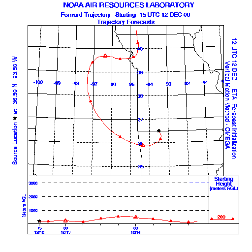
Trajectory Start(s) (shown by * on map): Oak Grove, AR
Prepared by: Thomas Keever (Department of Marine, Earth and Atmospheric Sciences, NCSU), Estelle Levetin (Faculty of Biological Science, The University of Tulsa, 600 S. College, Tulsa, OK 74104), and C.E. Main (Department of Plant Pathology, North Carolina State University, Raleigh, NC 27695-7618). This forecast gives the anticipated future track of released Mountain Cedar pollen, weather conditions over the region and along the forecast pathway, and an estimated time of arrival for various metropolitan areas.
Questions: Aerobiology Lab e-mail: pollen@utulsa.edu
Return to Forecasting Home Page