|
Metropolitan Area |
Exposure Risk |
|
Oklahoma City |
Low |
|
Tulsa |
Low |
|
St. Louis |
Low |
Date Issued: 29 December 2000
Mountain Cedar location(s): Arbuckle Mountains, OK
Regional weather: Friday - Sunday, December 29-31 - TX/OK/AR: High pressure in control of the weather today and Saturday. By Sunday, a disturbance will move into the region from the west. Winds, moderate on Friday and mostly light on Saturday, will be turning to the south and southeast, increasing the moisture inflow into the region. Chance of snow or rain for many areas. Highs mostly in the 30's to 50's each day with some 20's and 60's at the northern and southern edges. Lows mostly in the 10's to the 30's.
Trajectory weather: Partly to mostly cloudy today, high in the low 40's. Becoming clear tonight, low near 30. Mostly sunny on Saturday, high in the low 50's.
Trajectory confidence: High
OUTLOOK: *** Low Threat *** Conditions are unfavorable for pollen release from Friday through Sunday. Forecast highs near the source of 40 today, 30's Saturday, near 30 Sunday... all well below the tolerance range. Humidities are high today. They will likely be high again Saturday, and precipitation is expected Sunday. Winds are moderate today with light winds expected Saturday. Very little to no pollen release expected each day; Low Risk of Exposure. TK
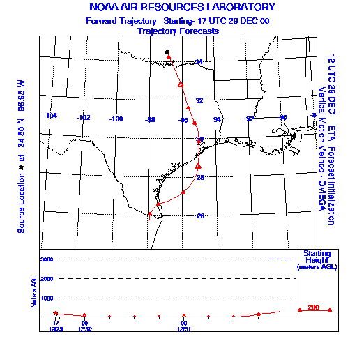
Trajectory Start(s) (shown by black star on map): Sulfur, Oklahoma
Prepared by: Thomas Keever (Department of Marine, Earth and Atmospheric Sciences, NCSU), Estelle Levetin (Faculty of Biological Science, The University of Tulsa, 600 S. College, Tulsa, OK 74104), and C.E. Main (Department of Plant Pathology, North Carolina State University, Raleigh, NC 27695-7618). This forecast gives the anticipated future track of released Mountain Cedar pollen, weather conditions over the region and along the forecast pathway, and an estimated time of arrival for various metropolitan areas.
Questions: Aerobiology Lab e-mail: pollen@utulsa.edu
Return to Forecasting Home Page