
The University of Tulsa
Mountain Cedar Pollen Forecast
SATURDAY / SUNDAY
Metropolitan Area |
Exposure Risk |
|
Dallas/Fort Worth |
Low |
|
Austin |
High |
|
San Antonio |
High |
Date Issued: 26 December 2009
Mountain Cedar Location(s): Edwards Plateau, Texas
Regional Weather:
Saturday, December 26 TX/OK: Across
the region the weather will be cold north but seasonal towards the south today. In Oklahoma high temperatures
are expected to remain in the 30s to low 40s along the border with Texas. In Texas temperatures will be in the
mid to lower 50s across the Plateau and its surrounding communities. Skies will be sunny region wide with some
scattered clouds to the north across central Oklahoma. Winds to the north will be from the West at light to moderate
conditions, whereas towards the south the Plateau will see light to moderate winds from the west and north, whereas
in the edge communities winds will be from the east and southeast. Tonight skies will remain clear region wide
with temperatures at or below freezing. Winds will strengthen a bit, coming from the north to northwest. Sunday
will be sunny over most of the region, with some clouds moving into the western most areas of the Edwards Plateau.
Temperatures will cool in the north with the Arbuckle area down in the low 40s. To the south, however, conditions
will warm by five or six degrees in the areas surrounding the Edwards Plateau, but remain relatively constant on
the Plateau. Winds will be moderate from the north on Sunday and Sunday night. Sunday night will see low temperatures
in the mid 20s across the Plateau, the low 30s in the edge communities and in the 20s to teens towards the north
into Oklahoma.
Trajectory weather: Sunny and clear skies will prevail across
the region today and tomorrow. Temperatures today in Texas will be in the upper-40s to the north and in the low
50s on the Edwards Plateau. The communities surrounding the Plateau region, such as Austin and San Antonio, will
be in the upper 50s. Tomorrow, temperatures will warm by five or six degrees in the areas surrounding the Edwards
Plateau but remain relatively constant in other areas. Overnight tonight and tomorrow night low temperatures will
be in the 20s across the plateau and in the low 30s elsewhere. Winds today will be mixed with moderate levels
across the Plateau and light winds elsewhere. Wind direction will also be mixed; winds will be from the west on
the Plateau, from the southwest in north Texas and from the northeast along the edge of the Plateau. Tonight a
dominant northerly wind will arrive in the region building to moderate wind strength. Tomorrow and tomorrow night
moderate winds from the north will occur. Trajectories from Texas all swirl clockwise during the beginning of
the day, but as the north to northwesterly winds move in, the trajectories start to move towards the southeast
and then southward. Tomorrow winds will continue the southerly direction on the predominant northern breezes.
Today, marginal temperatures and dry conditions will result in good conditions for pollen release. However, light
winds and a stable atmosphere will begin the day for moderate conditions for entrainment and travel. As the winds
begin to shift to a northerly direction and pick-up entrainment and travel is more likely, moving pollen south
and southeast of the Edwards Plateau. The combination of clear skies, moderate winds and marginal temperatures
should provide conditions that will result in the first region wide pulse of Juniperus ashei pollen this weekend.
For these reasons tomorrow will definitely see a high threat with good conditions for release and good conditions
for entrainment and travel.
OUTLOOK: ***High Threat today; High threat
tomorrow *** Good conditions for pollen release today
and Good conditions tomorrow; Moderate conditions for entrainment and transport today, Good conditions tomorrow.
Cool temperatures but dryer conditions than the beginning
of the week will result in good conditions for pollen to be released from the trees today and tomorrow. Light
winds will result in moderate conditions fro entrainment and travel at the beginning of the day, but once the regional
winds from the north take over conditions will improve for entrainment and travel. The forecast for moderate winds
tonight and especially tomorrow will aid in the drying and eventual dispersal of the pollen within the atmosphere.
We are beginning to see significant levels of pollen reported, those areas within the distribution or proximal
to the distribution can expect significant levels of pollen in the atmosphere. Further distant communities will
be impacted from pollen entrained in winds that pass over the pollinating tree region. The week after Christmas
is generally the beginning of the heavy pollen release season.
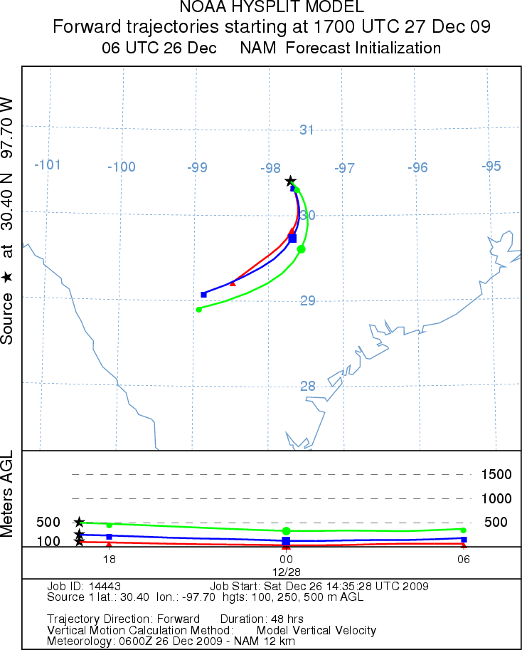
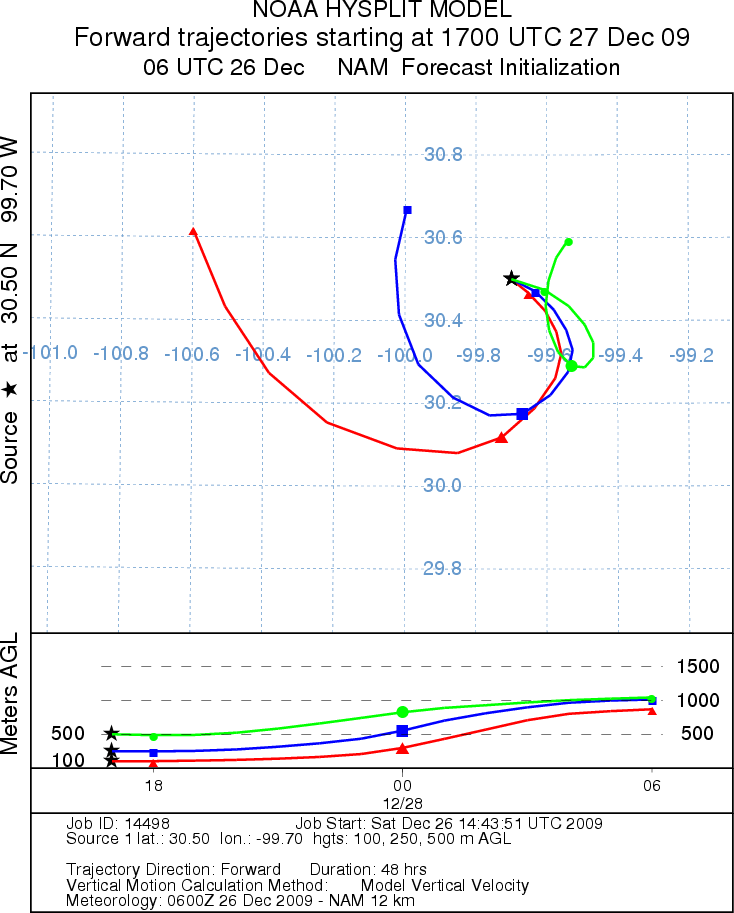
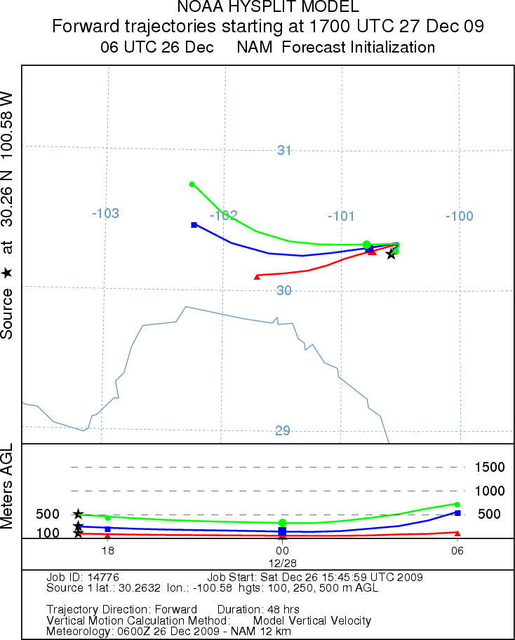
Trajectory Start (s) (shown by *
on map): Austin, TX; Junction, TX; Sonora, TX.
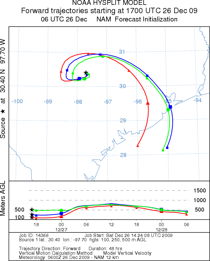
AUSTIN - SATURDAY
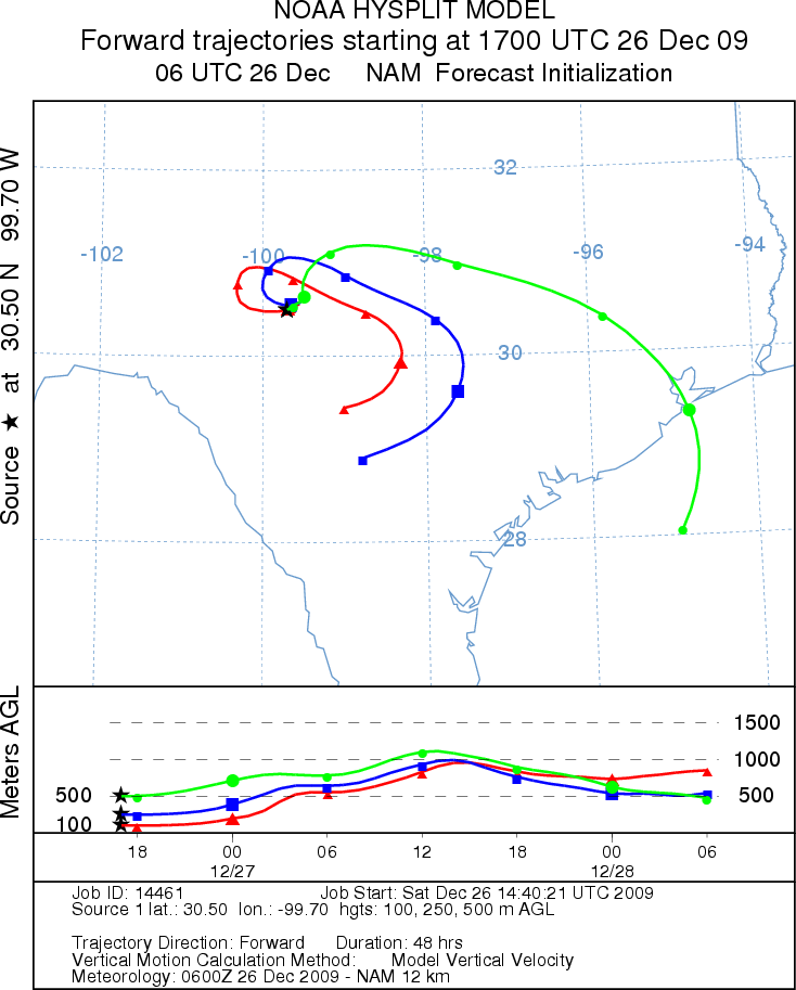
JUNCTION - SATURDAY
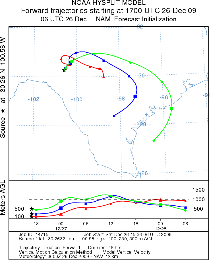
SONORA - SATURDAY
EDWARDS PLATEAU COMPOSITE - SATURDAY
AUSTIN - SUNDAY
JUNCTION - SUNDAY
SONORA - SUNDAY
EDWARDS PLATEAU COMPOSITE - SUNDAY
Prepared by: Estelle
Levetin (Faculty of Biological
Science, The
University of Tulsa, 800 S. Tucker Dr., Tulsa, OK 74104) and ) and Peter
K Van de Water (Department of Earth and Environmental Science, California State University Fresno,
2576 East San Ramon Avenue, M/S ST24, Fresno CA 93740-8039). This forecast gives the anticipated future track of
released Mountain Cedar pollen, weather conditions over the region and along the forecast pathway, and an estimated
time of arrival for various metropolitan areas.
Questions: Aerobiology Lab e-mail: pollen@utulsa.edu
Return to Forecasting Home Page