
The University of Tulsa
Mountain Cedar Pollen Forecast
Metropolitan Area |
Exposure Risk |
|
Dallas/Fort Worth |
Low |
|
Austin |
Low |
|
San Antonio |
Low |
Date Issued:19 December 2011
Mountain Cedar Location(s): Edwards Plateau, Texas
Regional Weather: Monday, December 19 TX/OK: Across
the region the weather will be cloudy with rain and thunderstorms building during the day. The chance of rain
is from 100% to the north in Oklahoma to 70% to the south in San Antonio. As the system begins to move out this
afternoon the showers will begin to decline. High temperatures are expected in the upper 50s across Oklahoma
into the 60s across Texas. To the east across Texas, showers will continue into tonight. Winds will be from
the southeast from 10 to 20 mph this morning along the eastern side of the Edwards Plateau. To the west a southwesterly
wind from 10 to 20 mph will dominate. Across the region winds will shift, coming out of the west at moderate to
light conditions overnight. Tomorrow skies around the Edwards Plateau will clear with sunny conditions. From
northern Texas into Oklahoma partly cloudy to mostly cloudy conditions will prevail, with showers lingering across
Oklahoma. Temperatures will cool into the 50s across Texas and remain even colder to the north. Winds will continue
from the west at moderate levels during the day, then overnight shift, coming from the north over most of the area.
Temperatures will be around freezing to the north and on the Edwards Plateau and in the eastern surrounding communities
of Austin and San Antonio temperatures will fall into the upper 30s.
Trajectory weather: Air mass trajectories over the Edwards Plateau move to the north on persistent south
to southeasterly winds. Cloudy skies with rain and thunderstorms this afternoon will occur across the region as
a system moves through the region with moderate daytime temperatures topping out in the upper 50s to the low 60s.
The atmosphere appears to be stable initially but as the system moves across the area the atmosphere will become
more buoyant. To the north colder conditions will result in significant winter weather, but across southern Oklahoma
and Texas warmer temperatures will prevail and most areas will remain above freezing today and tonight. Tomorrow
colder conditions may result in snow, especially to the north during the evening and nighttime hours. Currently
there is no indication that the trees are shedding pollen. Hot/dry conditions over the past year are indicated
in the delay of the current pollen season.
OUTLOOK: *** Low Threat today and Tomorrow *** Poor conditions for pollen release
today and tomorrow with poor conditions for entrainment and transport both days. Rain and thunderstorms with moderate
wind speeds will occur from Oklahoma south across the Edwards Plateau today. Today and tonight, into tomorrow
a significant chance of rain will occur across the region. With seasonal temperatures and moderate wind speeds
today, temperatures will be cooling tomorrow as the front moves through. The potential of pollen release is poor
and there is no indication that pollination has begun.
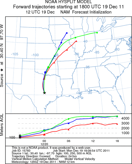
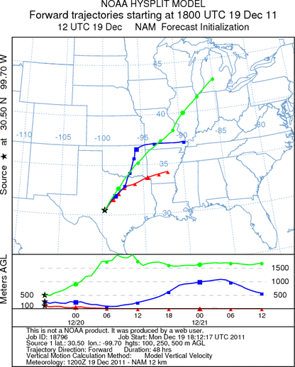
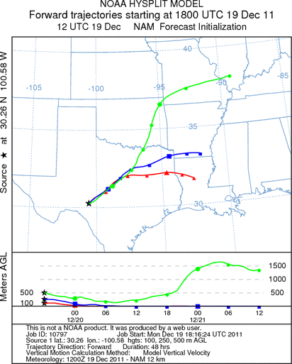
Trajectory Start (s) (shown by *
on map): Austin, TX; Junction, TX; Sonora, TX.
AUSTIN
JUNCTION
SONORA
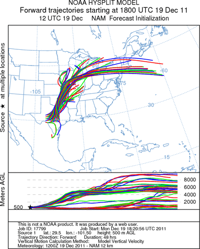
EDWARDS PLATEAU COMPOSITE
Prepared by: Estelle
Levetin (Faculty of Biological
Science, The
University of Tulsa, 800 S. Tucker Dr., Tulsa, OK 74104) and ) and Peter
K Van de Water (Department of Earth and Environmental Science, California State University Fresno,
2576 East San Ramon Avenue, M/S ST24, Fresno CA 93740-8039). This forecast gives the anticipated future track of
released Mountain Cedar pollen, weather conditions over the region and along the forecast pathway, and an estimated
time of arrival for various metropolitan areas.
Questions: Aerobiology Lab e-mail: pollen@utulsa.edu
Return to Forecasting Home Page