Date Issued: 11 December 1999
Mountain Cedar location(s): Arbuckle Mountains, OK
Regional weather: Saturday, December 11 - TX/OK: Low pressure system developing along the Texas/Mexico border will strengthen and move eastward during the next few days. Clouds today over most of the region with rain in parts of OK, AR, and Texas. Rain coverage will spread tonight and continue into Sunday as the system progresses. Some western sections of TX/OK will remain dry. Highs today ranging from 40's northwest to 60's southeast. Lows tonight 20's northwest to 50's southeast. Highs Sunday in the 30's northwest to the 60's southeast. Next weather system will approach the region by Tuesday.
Trajectory weather: Mostly cloudy with a chance of rain, high near 50. Chance of rain tonight, low in the 30's. Rain on Sunday, high in the 40's.
Trajectory confidence: High
OUTLOOK: *** Low Threat *** Unfavorable conditions for pollen release. Some rain has fallen at the source region this morning and humidity remains high. Temperatures are stuck in the mid-40's. Many cones remain immature. Sunday's weather should be quite unfavorable as well. Very little to no release expected. TK
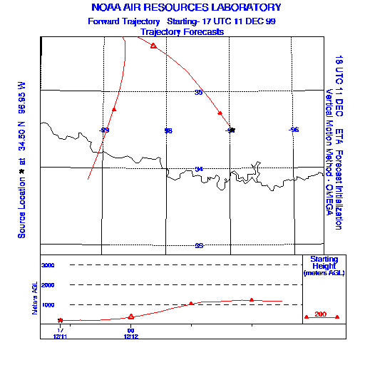
Trajectory Start(s) (shown by the * on map): Sulfur, Oklahoma
Prepared by: Thomas Keever (Department of Marine, Earth and Atmospheric Sciences, NCSU), Estelle Levetin (Faculty of Biological Science, The University of Tulsa, 600 S. College, Tulsa, OK 74104), and C.E. Main (Department of Plant Pathology, North Carolina State University, Raleigh, NC 27695-7618). This forecast gives the anticipated future track of released Mountain Cedar pollen, weather conditions over the region and along the forecast pathway, and an estimated time of arrival for various metropolitan areas.
Questions: Aerobiology Lab e-mail: pollen@utulsa.edu
Return to Forecasting Home Page