
The University of Tulsa
Mountain Cedar Pollen Forecast
Metropolitan Area |
Exposure Risk |
|
Dallas/Fort Worth |
Low |
|
Austin |
High |
|
San Antonio |
High |
Date Issued: 31 December 2009
Mountain Cedar Location(s): Edwards Plateau, Texas
Regional Weather: Thurs
and Fri, Dec 31 and Jan 1 TX/OK: Across
the region the weather will continue to warm from the wet cold beginning of the week. Skies today will be mostly
cloudy to the north in Oklahoma and northern Texas, partly cloudy across the Edwards Plateau, and mostly sunny
in the communities surrounding the plateau. There remains a significant chance of rain and snow in Oklahoma and
the Arbuckle Mountains this morning but warming tomorrow. Temperatures today will be in the low to mid 30s in
central Oklahoma southward towards northern Texas. Temperatures will warm with the Dallas area expected to get
close to 50 this afternoon. Further south across the Edwards Plateau temperatures will be in the upper 50s to
lower 60s. The edge communities of Austin and San Antonio are expected to be in the mid to upper 60s. Winds will
be from north to northwest at moderate levels today building to strong conditions in the afternoon. Overnight
temperatures will be in the 20s across Oklahoma and the southwestern and western portions of the Edwards Plateau.
The remaining areas will be in the 30s. Winds will remain from the north to northwest at moderate to strong levels.
Tomorrow the region will be sunny with warm conditions. Temperatures will be in the 40s and 50s to the north
and in the mid to upper 50s across the rest of Texas with the edge communities in the upper 50s to 60. Winds from
the northwest will switch during the day, coming from the south in the afternoon and overnight. Mostly clear skies
will remain Friday night towards the north with partly cloudy skies over the Edward Plateau. Temperatures will
be in the 30s.
Trajectory weather: Warming temperatures will occur across
the region today. Areas from Dallas northward will still see a significant chance of precipitation. To the south
warm and drying conditions with moderate to strong winds will make for very good conditions for pollination, entrainment
and travel. The edge communities, such as Austin and San Antonio will be foggy this morning but clear and be warm
this afternoon. Conditions will be cold tonight with temperatures in the 30s and partly cloudy skies to the north,
mostly clear skies over the Edwards Plateau. Winds will remain moderate to strong region wide. Tomorrow temperatures
will cool slightly but remain sunny throughout the area. Winds will switch from their northerly directions to
a south and southwest direction. Tomorrow night winds will become light, with light to moderate conditions over
the Edwards Plateau. Trajectories from Texas all begin moving towards the southeast on northwesterly winds today,
tonight and tomorrow morning. In the eastern areas of the population, winds at upper elevations move to the northeast
while those near the ground move towards the southeast. The western areas of the population the winds move in
concert towards the southeast. The air remains relatively stable and so buoyancy will be reduced and most pollen
in the atmosphere will stay at the lower levels moving from the source towards the southernmost areas of Texas.
Tomorrow conditions will be similar, but during the afternoon winds will switch from a northerly direction to
a southerly trajectory and could bring significant amounts of pollen over southern and central Oklahoma.
OUTLOOK: ***HighThreat today; High threat
tomorrow ***Good conditions for pollen release today
and Good conditions tomorrow; Good conditions for entrainment and transport today,Good conditions tomorrow. Warming and drying conditions along with clearing skies over Texas will result
in good conditions for pollen to be released from the trees today and tomorrow. Moderate to strong winds will
entrain and move pollen towards the southeast and southern most area of Texas. Tomorrow afternoon winds will switch
from the north to the south and entrained pollen will begin to move northward over north Texas and into Oklahoma.
The air today is stable but to the east shifts in the trajectory pathway with height, suggests some turbulence
may pull pollen into higher levels for downwind transport. Tomorrow, similar temperatures and winds speeds suggest
heavy pollination will probably be occurring both days. Today communities to the south are at risk for high atmospheric
concentrations, tomorrow communities to the north will be at risk with the switch in wind direction.
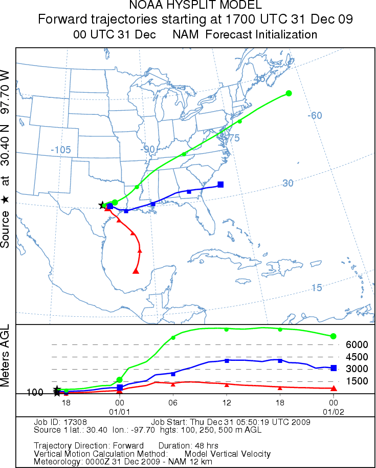
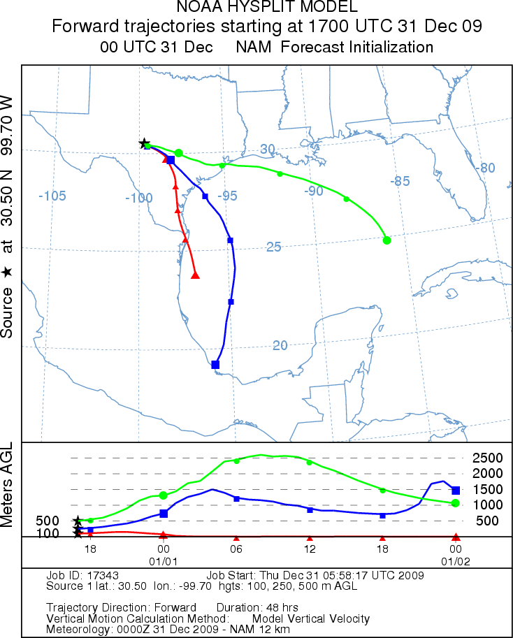
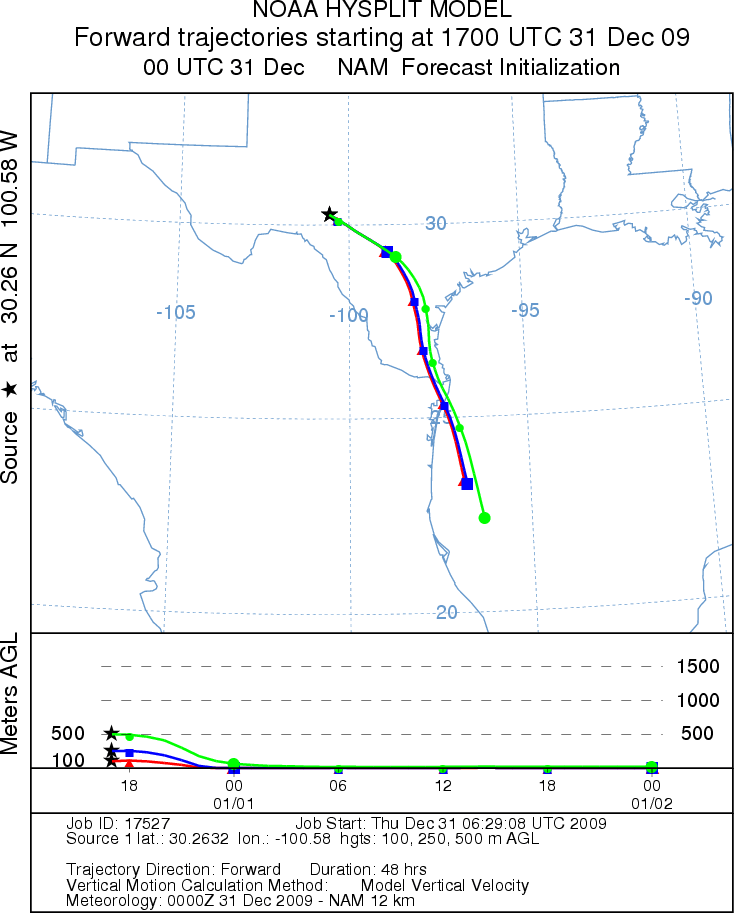
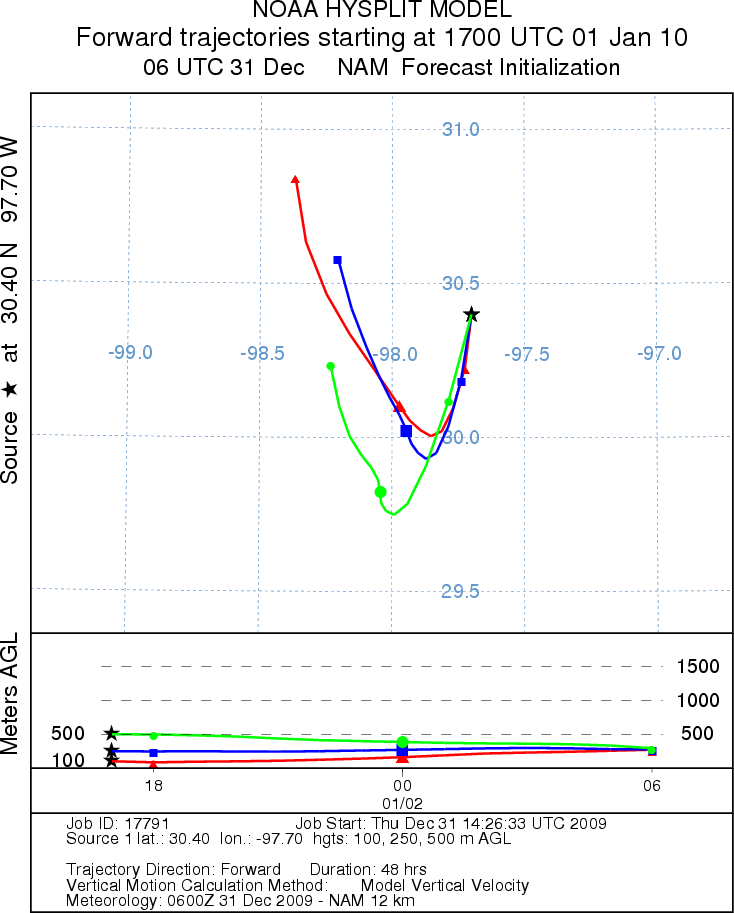
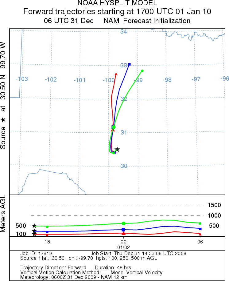
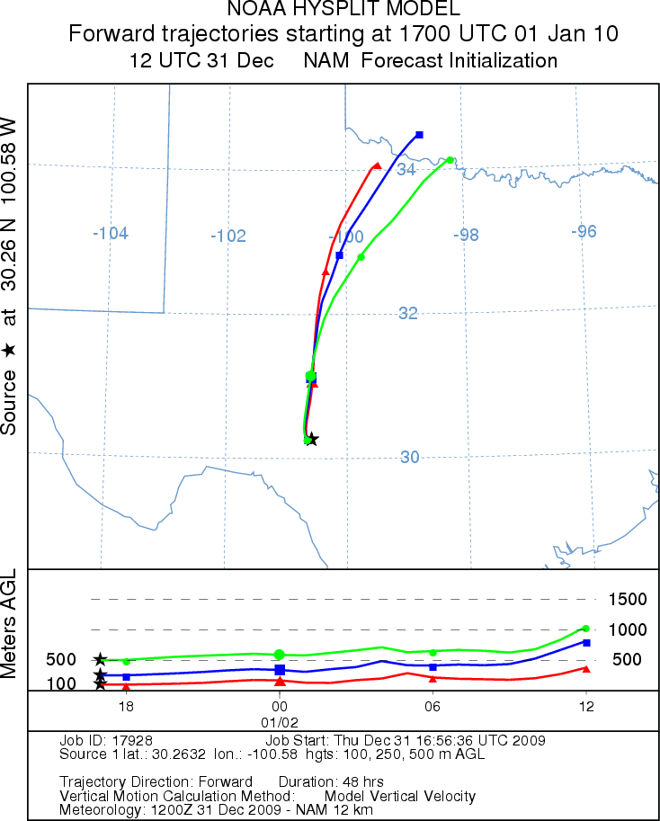
Trajectory Start (s) (shown by *
on map): Austin, TX; Junction, TX; Sonora, TX.
AUSTIN - THURSDAY
JUNCTION - THURSDAY
SONORA - THURSDAY
EDWARDS PLATEAU COMPOSITE - THURSDAY
AUSTIN - FRIDAY
JUNCTION - FRIDAY
SONORA - FRIDAY
EDWARDS PLATEAU COMPOSITE - FRIDAY
Prepared by: Estelle
Levetin (Faculty of Biological
Science, The
University of Tulsa, 800 S. Tucker Dr., Tulsa, OK 74104) and ) and Peter
K Van de Water (Department of Earth and Environmental Science, California State University Fresno,
2576 East San Ramon Avenue, M/S ST24, Fresno CA 93740-8039). This forecast gives the anticipated future track of
released Mountain Cedar pollen, weather conditions over the region and along the forecast pathway, and an estimated
time of arrival for various metropolitan areas.
Questions: Aerobiology Lab e-mail: pollen@utulsa.edu
Return to Forecasting Home Page