
The University of Tulsa
Mountain Cedar Pollen Forecast
Metropolitan Area |
Exposure Risk |
|
Dallas/Fort Worth |
Low |
|
Austin |
Low |
|
San Antonio |
Low |
Date Issued: 8 January 2013
Mountain Cedar Location(s): Edwards Plateau, Texas
Regional Weather: Tuesday, January 8 TX/OK:
Across the region the weather will continue to be seasonal Most areas will be in the 50s today and only about
10 degrees cooler tonight. There is a significant chance of rain occurring across the entire region today, tonight,
tomorrow and finally starting to taper off tomorrow night. All areas will see showers and thunderstorms during
the next two days. Skies will be cloudy and winds will be from the northeast today and tonight. In Oklahoma winds
will be from the south and southeast at lite levels today. Tonight wind speeds will increase across Texas then
calm and become more mixed tomorrow. In Oklahoma the winds will begin to build tonight with moderate conditions
tomorrow. Tomorrow winds will be from the northeast in northern Texas and Oklahoma, whereas further south winds
will come from the west at lite to moderate conditions. Temperatures will be mild with highs today in the upper
50s in the communities surrounding the Edwards Plateau. On the Plateau temperatures will be in the upper 40s
to 50 degrees and in the lower 50s in southern Oklahoma. Tonight the region will only fall by 5 degrees as showers
and thunderstorms continue throughout the area. Tomorrow conditions return to cloudy skies with a significant
chance of showers and thunderstorms returning. High temperatures will build back into the upper 50s and low 60s,
especially in the edge communities. The chance of precipitation continues to be in the 70% to 100% range. Winds
will be lite across the Edwards Plateau and surrounding communities coming from the west and northwest. Tomorrow
night conditions will begin to improve with a reduced chance of precipitation and low temperatures cooling into
the lower 40s and upper 30s. Winds will be from the west as skies will begin to clear.
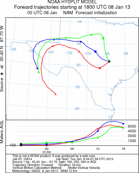
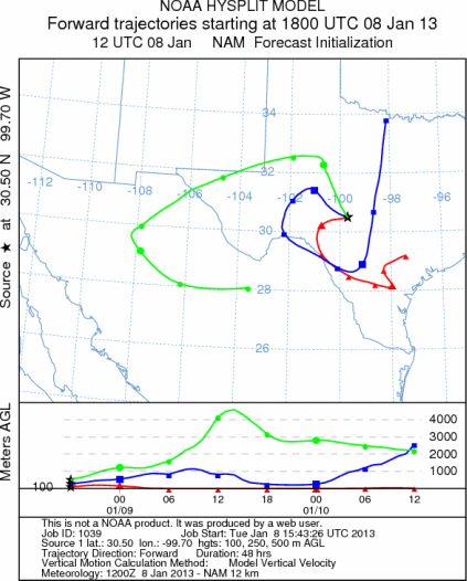
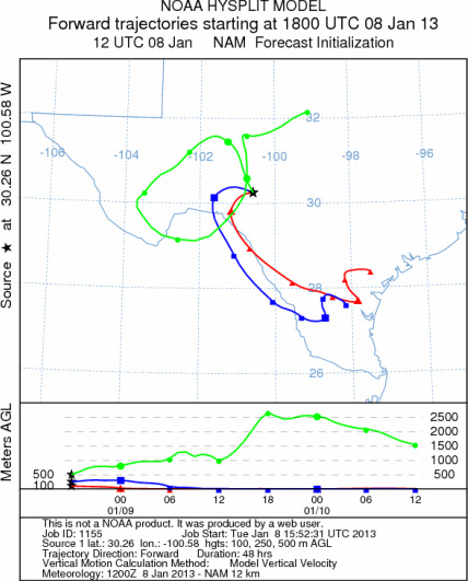
Trajectory weather: Air mass trajectories over the Edwards Plateau move initially northwestward on an east
to northeasterly winds today and over the next 48 hours will continue to wrap around a low pressure system that
is moving across the area. As this next weather system moves in from the west clouds will build and the chance
of showers will increase today, tonight, tomorrow and finally starting to taper off tomorrow night. The wind trajectories
will move in a counterclockwise pattern as the system moves across the region. The low pressure will provide buoyant
conditions as it moves through but it will also be associated with significant precipitation in the form of showers
and thunderstorms. With wet conditions little pollen is expected to be released and any pollen entrained in the
atmosphere should be washed out. These conditions will extend through today, tonight, tomorrow, and tomorrow night.
OUTLOOK: *** Low threat today and Low threat tomorrow *** Stormy conditions
today, tonight, tomorrow and tomorrow night will bring precipitation across the region. Seasonally mild conditions
will occur along with cloudy skies and lite to moderate winds. The poor conditions for pollination, entrainment
and travel indicate that there will be a very low threat of pollen dispersal today and tomorrow across the entire
region. Entrainment and travel with the interaction of the incoming moisture will limit any pollen flow outside
of the region. This quick break will end tomorrow night with conditions more conducive for pollen release beginning
to build towards the end of the week. Trees will be shedding pollen soon enough as the region warms and begins
to dry out. Once the weather clears and begins to warm, the tree populations will be approaching the heart of
the historic pollination season. Today and tomorrow there will be very poor conditions for significant pollen
levels in the atmosphere.
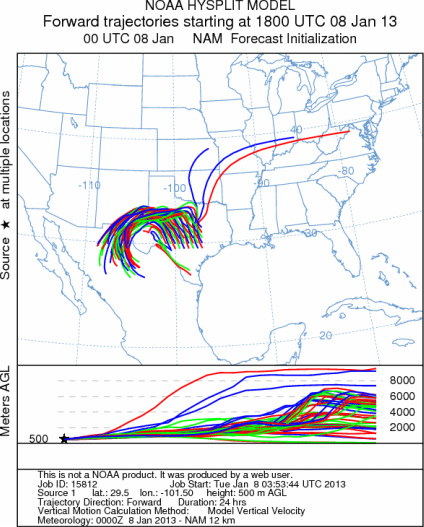
Trajectory Start (s) (shown by *
on map): Austin, TX; Junction, TX; Sonora, TX.
AUSTIN
JUNCTION
SONORA
EDWARDS PLATEAU COMPOSITE
Prepared by: Estelle
Levetin (Faculty of Biological
Science, The
University of Tulsa, 800 S. Tucker Dr., Tulsa, OK 74104) and ) and Peter
K Van de Water (Department of Earth and Environmental Science, California State University Fresno,
2576 East San Ramon Avenue, M/S ST24, Fresno CA 93740-8039). This forecast gives the anticipated future track of
released Mountain Cedar pollen, weather conditions over the region and along the forecast pathway, and an estimated
time of arrival for various metropolitan areas.
Questions: Aerobiology Lab e-mail: pollen@utulsa.edu
Return to Forecasting Home Page